
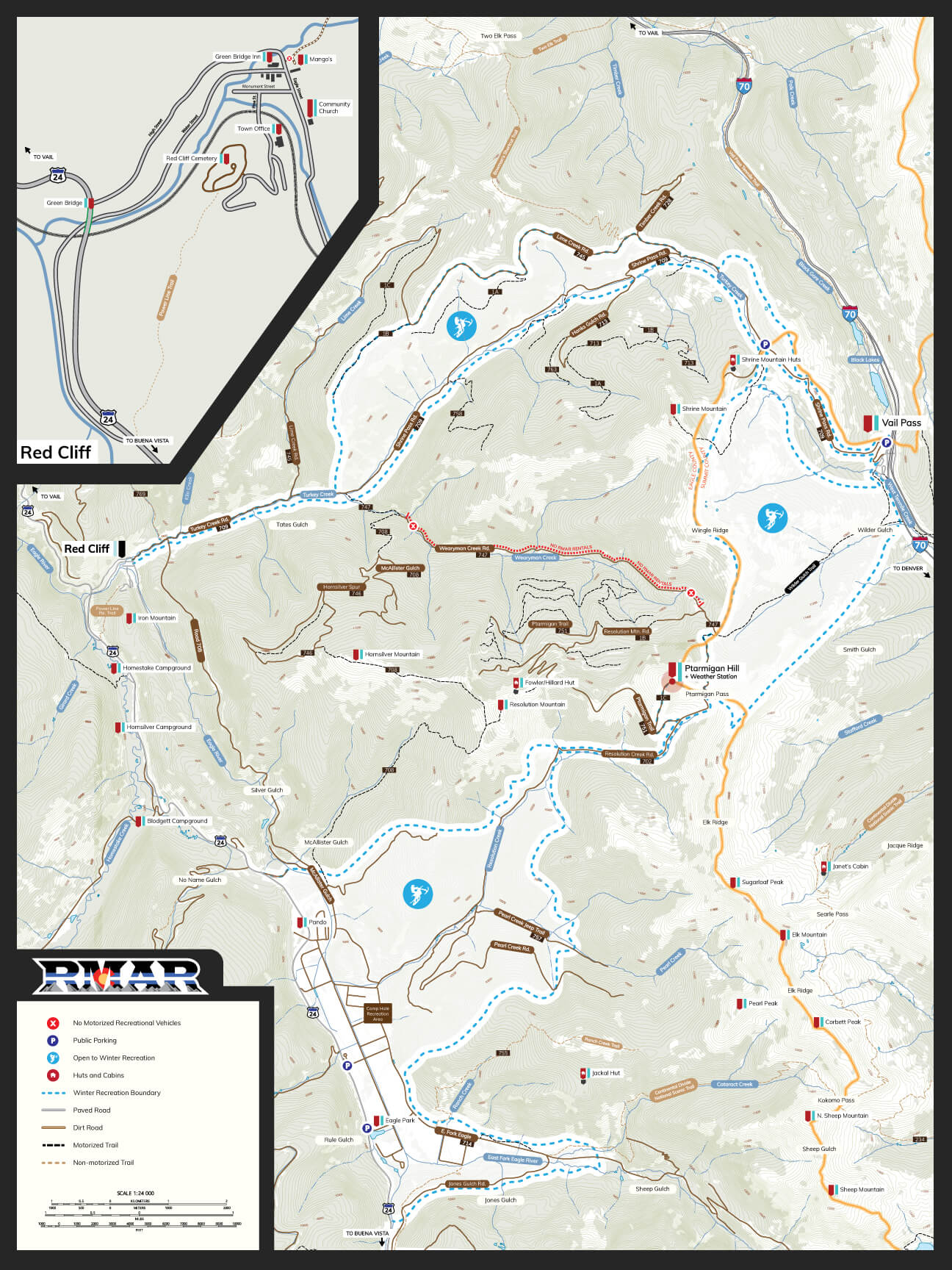
Vail Pass
Easily accessed by any parking location along the Camp Hale corridor of Highway 24, Resolution Creek Road is the most direct route to take into the Vail Pass Colorado Recreation Area. The ideal location for Snowmobile Rentals, RZR Rentals, and Timbersled Rentals, the route/trail is rated as “easy” due to the little exposure and relatively gradual incline. The trail is well maintained in the summer and is often times groomed in the winter months. There are multiple ways to reach the summit of Vail Pass via Resolution Creek but the more popular routes to take is via the Wilder Gulch Cutoff. Wilder Gulch also comes with an “easy” label but you should be aware that it is not as heavily traveled as Resolution Creek so it may be a little hard to stay on course.
While down in the Camp Hale region you may find Resolution Creek to be a little more busy than you would like; this is often due to the many outfitters who drag swarms of tour groups through. Once you pass the groups, the areas will open up for you. If you travel to the Vail Pass Summit via the Wilder Gulch cutoff, you can expect to travel just over 9 miles each way so plan accordingly.
Location Details
No Permit Required
Parking Available
Over 65,000 Acres
Located in White River National Forest
Seasonal Activities
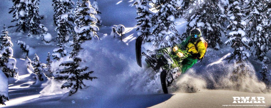
Snowmobiling / Timbersleds
Back Country Skiing / Snowboarding
Snowshoeing / XC Skiing
RZR's / 4x4 / Dirt Biking
Hiking / Backpacking
Lime Creek Road Print Map

YOU ARE RESPONSIBLE
- Alway have Avalanche rescue gear and know how to use it.
- Uphill traffic and snowcats have the right of way.
- Ride single file. Pass on the left.
- Use designated pick-up/drop-off spots.
- Stay in control.
- Always ride the fall line.
- NEVER ride above groups.
These maps are for reference only. Always carry certified U.S. Forest Maps and GPS devices while in the back country. It is your responsibility to know the hazards involved in back country travel and to use proper safety gear and procedures to minimize risks and hazards.